Geospatial Mapping UAE
Satellite intelligence guiding land, water and climate decisions
Terra watch
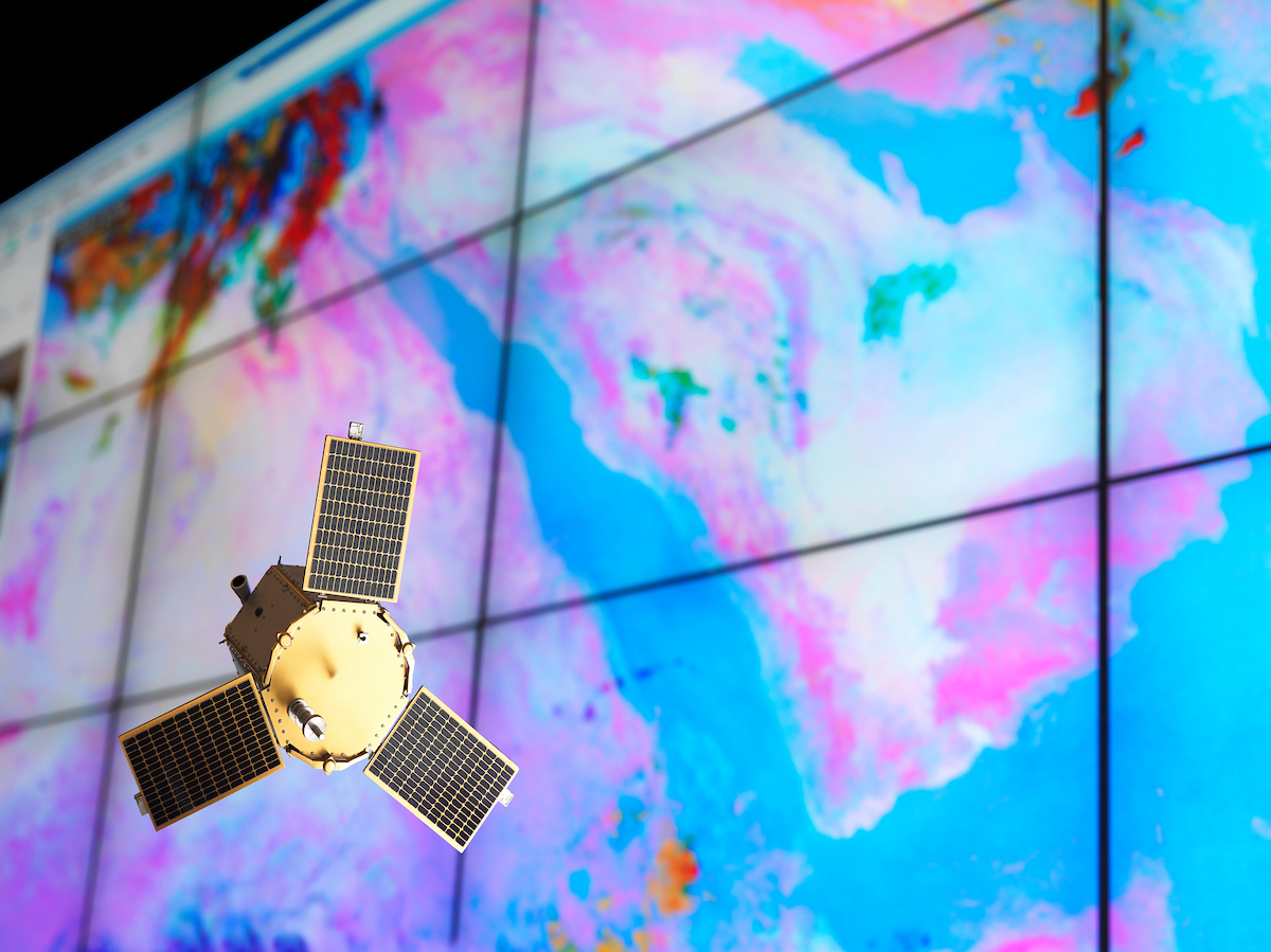
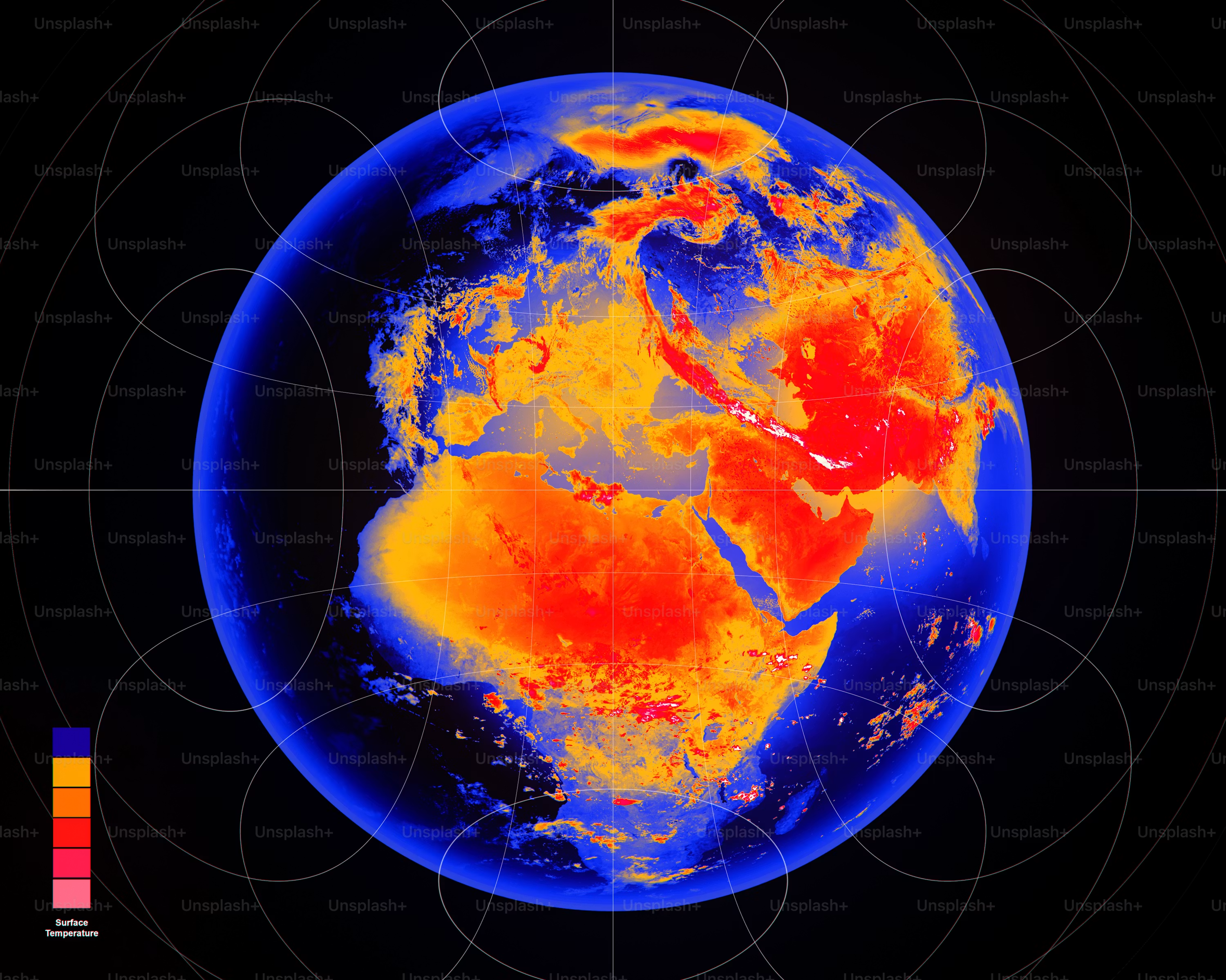
TerraWatch turns satellite data, drones, IoT sensors and citizen science into a live environmental observatory, providing the evidence to plan, prioritise and de-risk nature-positive decisions on land, water and climate.
Zooming in
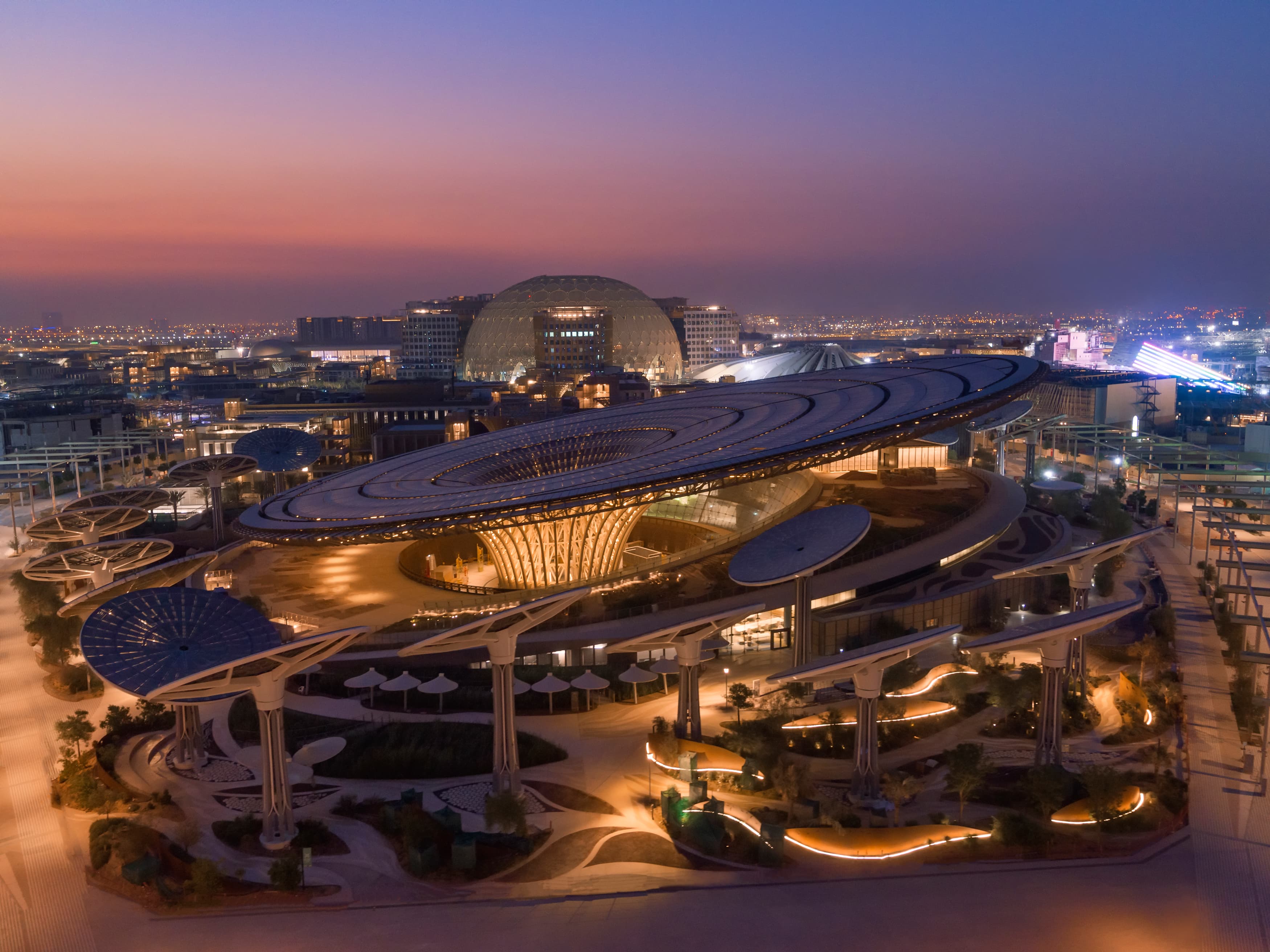
Assessments, monitoring and decision support span biodiversity, water and urban heat, with delivery trusted by multilateral, public and private clients including the Islamic Development Bank and World Bank.
#PartnerWithTerra
Let's connect
We work with governments, institutions and organisations to develop nature-positive solutions for arid urban environments. Partner with us through consultancy, trainings, grants, programme sponsorships or research collaborations.




 Google Play
 App Store